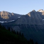
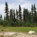
Morning Mountains: Glacier National Park, August 2006 One last shot of the mountains from the Going-to-the-Sun Road, before we headed home. (via Robby Edwards’ Photos)
Galleries
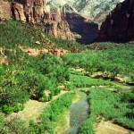
Valley Floor: Zion National Park, September 2001 After a stop at the Zion Lodge, we decided to take a hike. We hiked the Middle Emerald Pool Trail up and the lower Emerald Pool Trail back to the lodge. Along the way I took this photo of the canyon. The North Fork of the Virgin River is visible in the foreground. This was the river which created the canyon. (via Robby Edwards’ Photos)
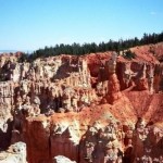
More Hoodoos: Bryce Canyon National Park, September 2001 (via Robby Edwards’ Photos)
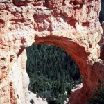
Natural Bridge: Bryce Canyon National Park, September 2001 This enormous formation (so large I could not capture it in one photograph with the camera I had at the time) is named Natural Bridge. But it was not formed by a stream as a real natural bridge would be. This formation is an arch, which is formed by the combined forces of rain and frost working upon the rock. (via Robby Edwards’ Photos)
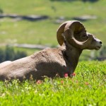
Regal: Glacier National Park, August 2006 (via Robby Edwards’ Photos)
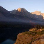
Morning @ Saint Mary Lake: Glacier National Park, August 2006 The rising sun illuminates the mountains above St. Mary Lake. This was taken as we were leaving the park on our final morning in Glacier. (via Robby Edwards’ Photos)
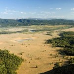
Jackson Hole: Grand Teton National Park, August 2006 “Jackson Hole is a valley in the U.S. state of Wyoming. It is located in west-central Wyoming, and gets the name “hole” from early trappers who primarily entered the valley from the north and east and had to descend down into the valley along relatively steep slopes, giving the sensation of entering a hole.” “The valley is formed by the Teton Range on the western side and the Gros Ventre range on the eastern side. Grand Teton National Park occupies the north-western part of the valley encompassing the much of the Teton Range as well as as Jackson Lake. The town of Jackson, Wyoming, is at the southern end. The Snake River threads through the entire valley from its headwater in Yellowstone in the north to the mouth of the Snake River Canyon at the southern tip of the valley. The average altitude of the valley is over 6,500 feet.” —from Wikipedia I took this photograph from the top of Signal Mountain. (via Robby Edwards’ Photos)
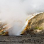
Steam: Yellowstone National Park, July 2006 As the warm runoff from Excelsior Geyser Crater spills into the Firehole River, it creates a massive amount of steam. (via Robby Edwards’ Photos)
Little Lamb: Glacier National Park, August 2006 On our way back from Hidden Lake we passed this little lamb just laying by itself near the trail. (via Robby Edwards’ Photos)
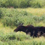
Mama Moose: Grand Teton National Park, August 2006 Another shot of the moose we saw on our way out of Grand Teton. (via Robby Edwards’ Photos)
